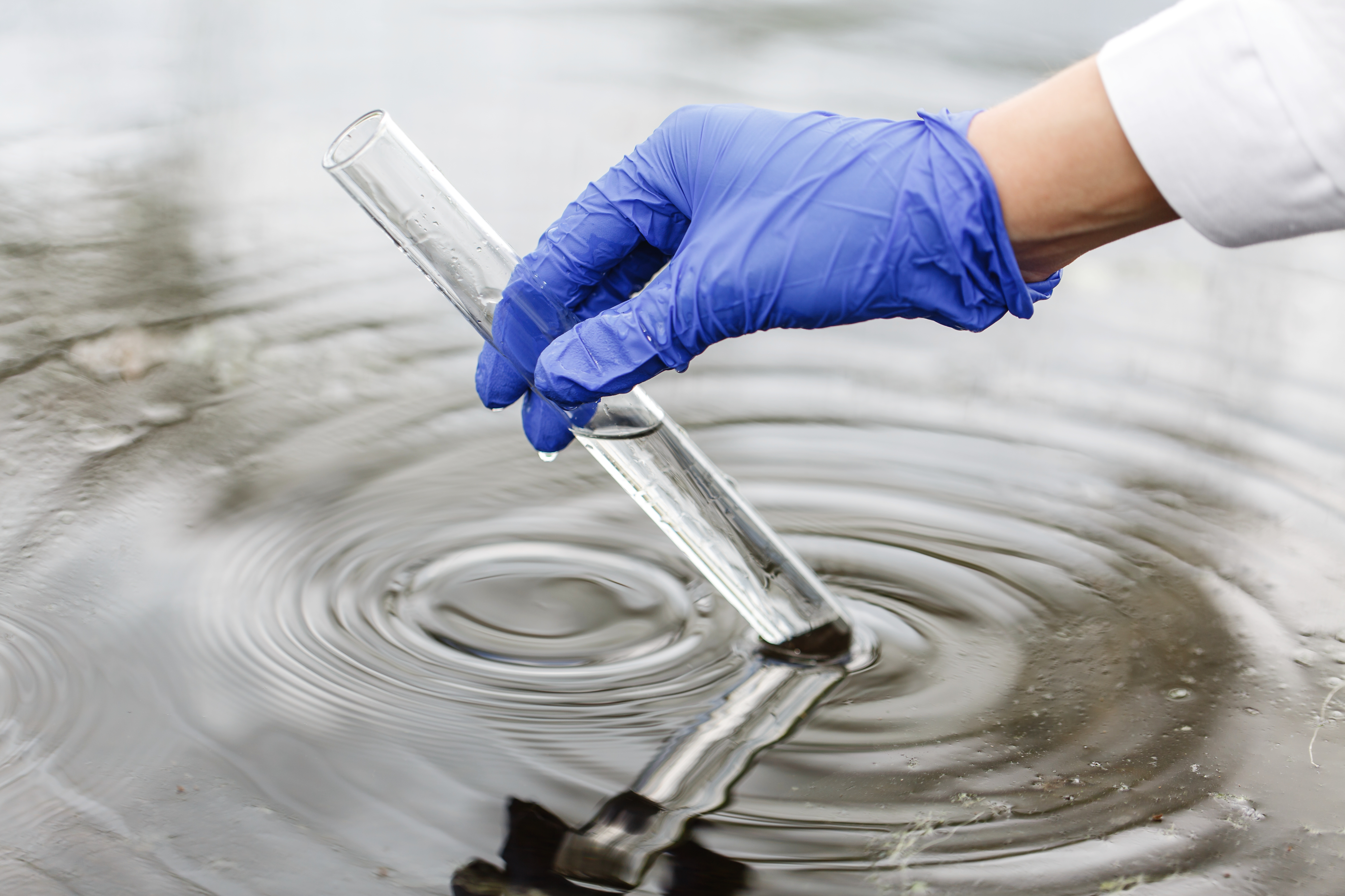
Welcome to AquaLens: Water Data Visualizations
Explore interactive charts and maps that reveal key insights about the world's freshwater resources. These visualizations help explain how water quality and access affect people's health, the environment, and communities around the globe.
What You'll Find
This page brings together global data from sources like the WHO, UNICEF, and other environmental agencies.
You'll see visual stories about clean drinking water, water stress, pollution, and how statistics pertaining to different countries. More actions
manage water. Whether you're a student, a policymaker, or just curious — these visuals are designed to make complex water issues easy to understand.
The data is shown in five different categories: General Water Quality and Availability, Chemical Indicators, Ecological, Health Impacts, and Data Reporting and Transperency.
💡 You can click on any of the bold category names above to jump straight to that section or explore related data stories.
General Water Quality and Availability
Percentage of Good Quality Water Bodies
Global data on countries' water quality
Global Water Stress
Map visualizing water stress felt globally between 2016 - 2022
Countries with Highest and Lowest Water Stress (%)
Countries with highest and lowest water stress felt between 2016 - 2022
What Drives Water Stress? Insights From Random Forest Machine Learning Model
Explore the factors that help predict water stress, most vulnerable countries, and what this means for policy
Global Water Use Efficiency (US$/m³)
Map visualizing global water use efficiency in 2022

Access to Drinking Water based on Wealth - Poorest
Access to drinking Water based on wealth
Chemical Indicators

Average pH Levels
Visualizing global pH values by country
Oxygen Demand Map
Average biological oxygen demand in water bodies
Oxidized Nitrogen Map
Average nitrate levels across countries, indicating nutrient pollution intensity
Nitrogen vs Oxygen Scatter
Shows the relationship between oxidized nitrogen and oxygen demand across countries

Forecast: Nitrogen & Oxygen Demand
Long-term projections of nutrient pollution and organic demand through 2030
Ecological
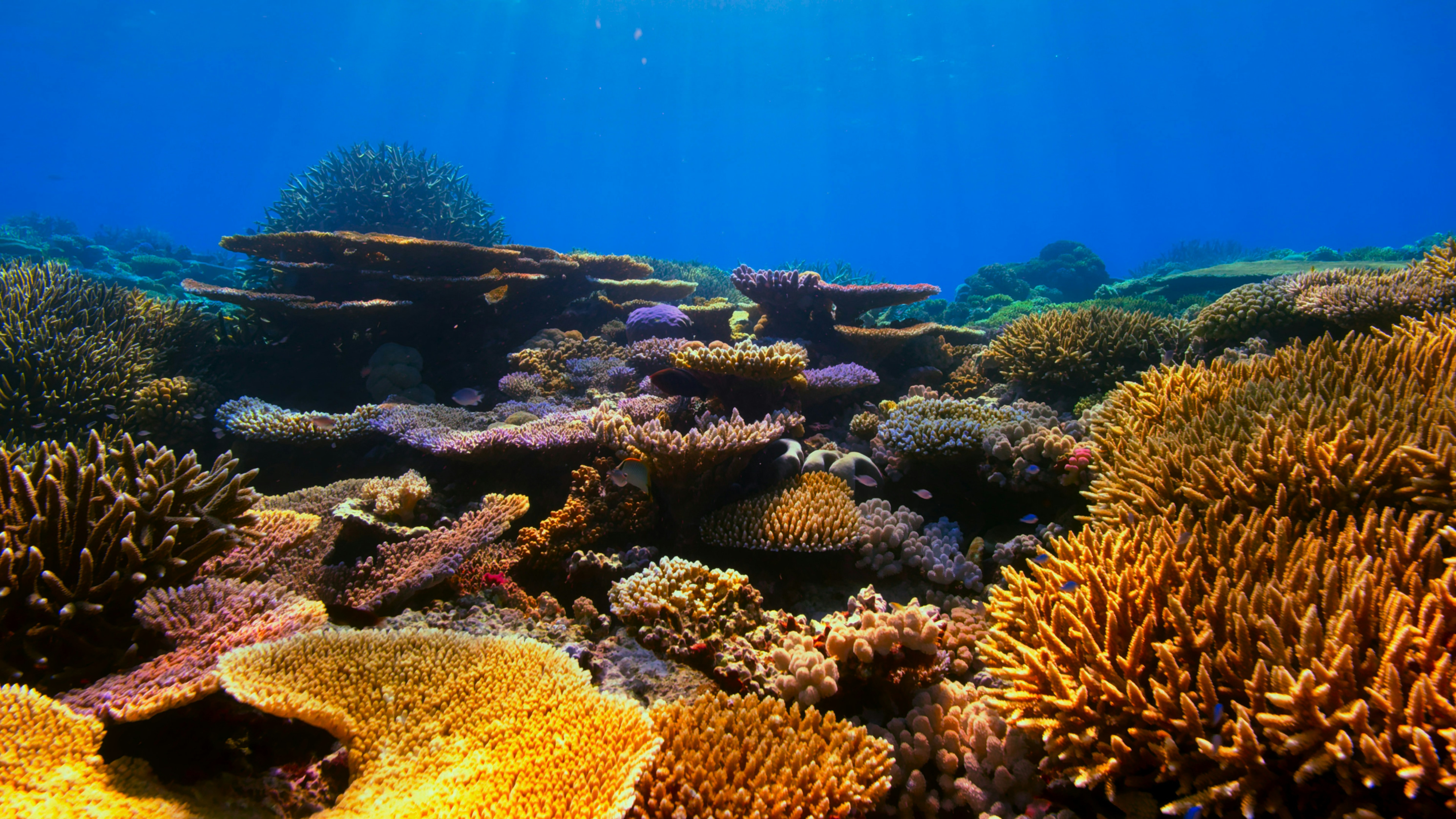
Heatmap with Vulnerable Marine Ecosystems (VME) in the Northeast Atlantic Ocean
Presence of VME and its indicators (e.g. sponge, corals) in the Northeast Atlantic Ocean
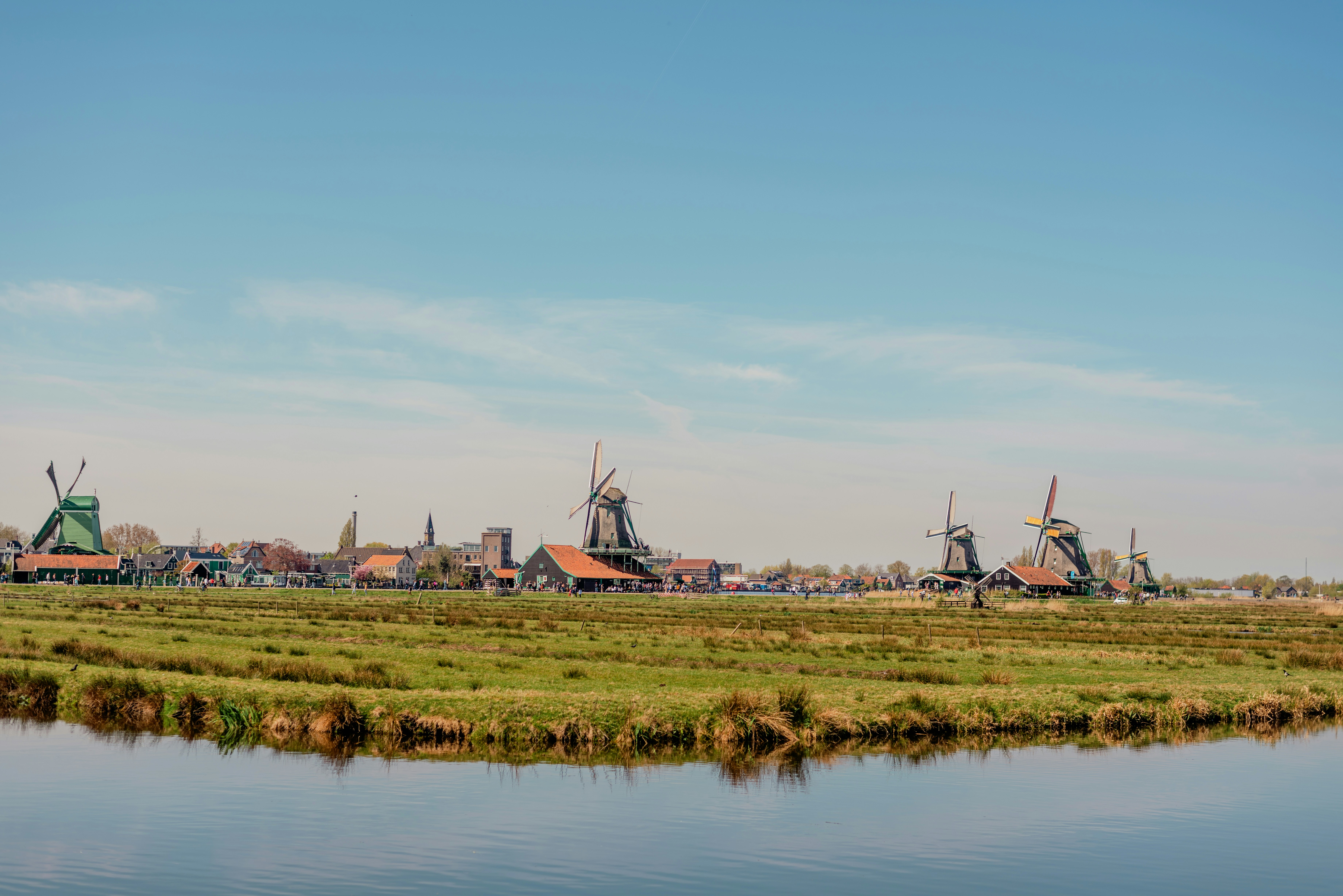
Concentration of Properties Found in GW in The Netherlands
Visualizes historical data of properties (i.e. Ammonium, Nitrate) found in GW bodies in the Netherlands
Health Impacts

Basic Water vs Basic Cleanliness in Healthcare Facilities
Scatter plot showing a positive trend

Forecast: Diarrheal Death Rate
Projected global death rates from diarrheal diseases through 2030
Data Reporting & Transparency
Water Reporting Transparency
Shows how consistently countries publish water safety data based on WHO/GLAAS